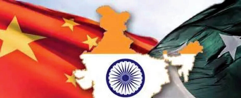
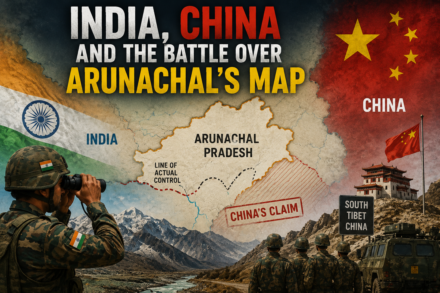
New Delhi: India’s official mapping of 27 locations in Arunachal Pradesh marks a hugely significant, even historic, moment in Indian diplomacy and strategic policy. This is no routine administrative or geographical update. Behind it lies the long-running and complicated border dispute between India and China, China’s unwarranted claims over Arunachal Pradesh, and India’s broader strategy of holding the line along the Line of Actual Control. The Survey of India has entered 27 locations and geographical features in Arunachal Pradesh into its official maps, each recorded under its standardized Indian name. The list covers 21 land areas, 4 mountain passes, 1 lake, and 1 historical monument. It’s worth being clear here: India hasn’t renamed these places. It has simply taken their original, traditional Indian names and given them formal institutional standing by standardizing them on official maps. This is a direct response to China’s own aggressive and misleading practice of assigning Chinese names to Indian territory in an attempt to manufacture a claim to sovereignty.
In modern international diplomacy, maps are never just pictures of mountains, rivers, and borders — they’re official documents of a sovereign nation’s identity, its historical claims, and the reach of its administration. In the language of geopolitics, this is called cartographic diplomacy. India’s move sends China and the wider world an unambiguous message: India has no intention of letting the geographic identity of territory under its jurisdiction be reshaped by outside pressure or a foreign naming campaign. The Survey of India is the country’s apex mapping authority. This latest round of mapping is a practical extension of a broader national effort — one anchored in the significant agreement signed in January 2026 between the Survey of India and the Digital India Bhashini Division to digitize and standardize geographical names. It shows India is working to make its administrative and geographical records technically and documentarily airtight. China knows perfectly well how much weight standardized official maps carry when claims are tested on the global stage — which is exactly why this move by India cuts the legal and documentary ground out from under China’s unilateral assertions.

This diplomatic assertiveness comes even as dialogue between the two countries continues in the interest of border peace. On August 6, 2026, New Delhi hosted the 36th meeting of the Working Mechanism for Consultation and Coordination on India-China Border Affairs. The meeting took a serious look at the situation along the Line of Actual Control, border management, and the continuation of established military and diplomatic channels between the two sides. It’s a fascinating — and necessary — balancing act. On one hand, India is taking an unyielding stance on sovereignty in its maps and administrative records; on the other, it’s keeping every diplomatic and military channel with China wide open. The strategy makes clear that India won’t compromise on territorial integrity, but it also understands the value of dialogue in preventing any accidental military escalation. A conflict between Asia’s two largest powers, however small, could put the entire continent’s economy and security at risk.
Arunachal Pradesh isn’t just a remote border state for India — it’s a region of enormous sensitivity and importance for national security, Himalayan ecology, and connectivity across India’s Northeast. Border terrain and mountain passes carry real strategic weight from a military standpoint. Mapping these 27 locations is a substantial legal step toward more transparent border administration, one that will make it easier to identify sites systematically for government planning, disaster management, defence preparedness, and infrastructure development. Alongside this, the government is pushing ahead with infrastructure development in Arunachal Pradesh and other northern border states through ambitious programmes like Vibrant Villages. Indian policymakers understand that putting names on a map isn’t enough on its own — building roads, bridges, communication networks, and civic amenities in difficult Himalayan terrain is just as essential to establishing a genuine administrative presence there. Stopping migration out of border villages, and keeping the local population safe and prosperous, is very much part of the national security picture.

Beyond the border and mapping dispute, Himalayan water security and river-water management form another deeply entangled strand of the India-China relationship. The 36th meeting in New Delhi also gave prominent attention to river-water issues. The Brahmaputra, a massive and vital river, originates in Tibet — entirely under Chinese control — before entering India’s northeastern states. The large hydropower projects, dams, and reservoirs China is building upstream have become a major strategic concern for India. At the diplomatic level, India continues to press China to share technical and hydrological data on trans-boundary rivers in a timely and fully transparent manner. If India receives upstream flow data promptly during the monsoon or periods of heavy rain, it can help protect the lives, livelihoods, and agriculture of the Northeast from devastating flash floods downstream. So the water-data issue isn’t simply environmental or diplomatic — it’s a deeply sensitive matter of human safety and disaster management for millions of citizens.
Taken together, India’s current China policy appears to rest on three pillars: firmness, dialogue, and vigilance. On the question of borders and sovereignty, India is showing its historic resolve, using documentation to make clear that Arunachal Pradesh is an inseparable part of India. On dialogue, India is making sure the table between military commanders and senior diplomats from both sides is never empty — so that a minor misunderstanding during a routine border patrol doesn’t spiral into a larger conflict. And on vigilance, India continues to strengthen its military readiness, logistics supply chains, and border infrastructure.
Where India-China diplomatic relations go from here will depend heavily on how maturely both countries manage these deep, historical differences. The standardized official mapping of 27 locations in Arunachal Pradesh is a bold move by India to assert its legal position — something like erecting a firm diplomatic wall against China’s expansionist, pressure-driven posture. At the same time, the 36th round of talks shows that even amid this legal and diplomatic tug-of-war, real room for peace is still being actively sought. The biggest takeaway from all of this is that India has moved past any defensive hesitancy and is now pursuing a realistic, proactive, and carefully balanced diplomacy — standing firm on its own terms in defence of its sovereignty, while proving, through its willingness to keep talking, the maturity of its foreign policy.