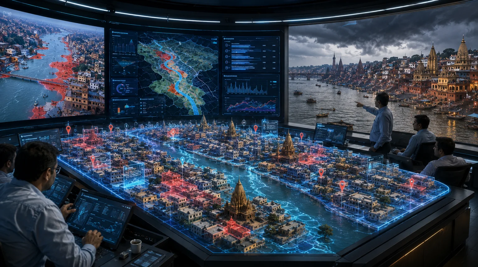
Varanasi: Authorities in Varanasi are turning to advanced geospatial technology to strengthen preparedness for floods and other natural disasters, using a 3D Urban Spatial Digital Twin and Geographic Information System (GIS) to identify vulnerable areas before rising water levels trigger an emergency.
The technology is being used to assess in advance which localities could be affected by flooding, where waterlogging is likely to occur and how many houses could potentially come under the impact of rising water levels. The information is expected to help the administration prepare evacuation, rescue and relief strategies and deploy resources more efficiently.

Additional District Magistrate (Finance and Revenue) Dr Sadanand Gupta said the 3D Digital Twin and GIS-based system was enabling the administration to undertake a preliminary assessment of potentially flood-prone areas and prepare response strategies in advance.
He said information generated through the technology was being used to improve planning for relief and rescue operations and to ensure that resources could be positioned according to the likely requirements of vulnerable areas.
160-Sq-Km Area Digitally Mapped
According to Amarendra Tiwari, Chief General Manager of Varanasi Smart City, nearly 160 square kilometres of Kashi has been mapped in 3D, incorporating more than 100 thematic layers.
The digital model has been developed using Light Detection and Ranging (LiDAR) technology, which enables detailed spatial information to be captured and represented digitally.
The system can be used to assess areas that could potentially be submerged during a flood and estimate the locations and number of houses likely to be affected. Such advance information can help authorities identify vulnerable pockets and plan the deployment of rescue teams, equipment and other emergency resources.
Data Collected From Streets to Major Roads
Smart City Project Manager Dr Santosh Kumar Tripathi said the digital model was created using multiple methods of 3D GIS mapping, including surveys conducted with light aircraft, backpack-mounted equipment and vehicles.

Data has been collected across Kashi, covering everything from its narrow lanes and major roads to other urban areas. This information has subsequently been integrated into a digital model.
A customised software platform has also been developed using the data, which can potentially be used by government departments and agencies involved in urban development and infrastructure planning.
Technology to Support Future Urban Planning
Officials believe the digital twin can have applications beyond disaster management. By creating a detailed digital representation of the city’s physical environment, the system can support planning and assessment for future infrastructure and development projects.
The integration of 3D mapping, GIS and multiple thematic data layers is expected to give planners a more detailed understanding of the city’s geography and built environment.
For flood management, the technology provides authorities with a way to move from a reactive response towards advance risk assessment and preparedness. Instead of waiting for flooding to occur before identifying vulnerable locations, officials can use digital modelling to anticipate potential impacts and plan accordingly.
The initiative is therefore emerging as both a disaster-management tool and a potential foundation for technology-driven urban planning in Varanasi.