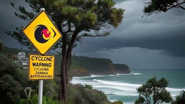
Chennai. The low pressure area over the Bay of Bengal intensified and is likely to turn into a severe cyclonic storm (Dana) by October 23. According to the weather forecast, it will reach the coasts adjoining Odisha and West Bengal on October 24. Due to which both the states will receive heavy rains for three days i.e. Friday. Meteorologists have advised fishermen not to go to sea between October 23 and 25. The wind speed is likely to reach 60 kilometers per hour (km per hour) along the Odisha-West Bengal coasts from Wednesday and will gradually increase to 100-110 kmph. Winds will blow at a speed of 120 kmph from the night of October 24 to the morning of October 25.
The India Meteorological Department said, “This system is likely to cross the North Odisha and West Bengal coasts between Puri and Sagar Island on the night of October 24 and the morning of October 25. During this time, winds will blow at a speed of 100-110 kmph gusting to 120 kmph as a severe cyclonic storm (Dana).”
Red alert in these districts of Odisha-Bengal, schools also closed
The IMD has issued a red alert (take action) of heavy to very heavy rains (7 to 20 cm) with extremely heavy rains (more than 20 cm) at isolated places. Along with this, thunderstorms with lightning are likely in Puri, Khurda, Ganjam and Jagatsinghpur districts of Odisha on October 24. Special Relief Commissioner DK Singh has asked the School and Mass Education Department to close schools in 14 potentially affected districts from October 23 to 25 as a precautionary measure. Schools will remain closed in Ganjam, Puri, Jagatsinghpur, Kendrapara, Bhadrak, Balasore, Mayurbhanj, Keonjhar, Dhenkanal, Jajpur, Angul, Khordha, Nayagarh and Cuttack districts. For West Bengal, the weather office has predicted heavy rains in the coastal districts of East and West Medinipur and North and South 24 Parganas on October 23.
Tourists urged to leave Puri
The Odisha government has also urged tourists to leave the coastal pilgrimage town of Puri between the night of October 24 and the morning of October 25 before the cyclone hits the state’s coast. Odisha Chief Minister Mohan Charan Majhi has directed officials to ensure 100 per cent evacuation of people from areas likely to be affected by the cyclone. He also directed officials to keep adequate food, drinking water and medicines in cyclone shelters. Majhi urged people not to panic as the state government is fully prepared to deal with the situation.

Yellow-orange alert issued for these districts
The IMD has issued an orange alert (get ready to take action) of heavy to very heavy rain (7 to 20 cm) with thunderstorms and lightning at isolated places in Kendrapara, Cuttack, Nayagarh, Kandhamal and Gajapati districts. Apart from this, a yellow alert (be cautious) of heavy rain (7 to 11 cm) and thunderstorms with lightning has also been issued for isolated places in Bhadrak, Balasore, Jajpur, Angul, Dhenkanal, Boudh, Kalahandi, Rayagada, Koraput, Malkangiri, Mayurbhanj and Keonjhar.
Alert in these districts of Bengal
The IMD said that heavy to very heavy rains are likely at one or two places in East and West Medinipur, South 24 Parganas and Jhargram districts in West Bengal on October 24 and 25. The weather office also said that heavy to very heavy rainfall is likely in Kolkata, Howrah, Hooghly, North 24 Parganas, Purulia and Bankura districts on October 24 and 25.