New Delhi | A fresh spell of cold weather has begun sweeping across North India as the higher reaches of Jammu and Himachal Pradesh brace for snowfall, according to the India Meteorological Department (IMD). The changing weather pattern is attributed to the impact of a western disturbance, which is likely to bring rain and snow to several regions.
Light rainfall accompanied by thunderstorms is expected today in Uttar Pradesh, Delhi-NCR, Bihar, Rajasthan, Haryana, Punjab, and Madhya Pradesh, while the hilly states — Jammu & Kashmir, Himachal Pradesh, and Uttarakhand — may experience rain and snowfall. Weather agency Skymet has also issued alerts for heavy rainfall in parts of southern and northeastern India.
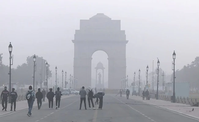
In Delhi, cloudy skies are expected to persist, though no rain has been recorded in the past two days. The Air Quality Index (AQI) on Wednesday stood at 202, categorized as “poor.” The IMD predicts a maximum temperature of 32°C and a minimum of 18°C on Friday, with strong winds increasing the chill factor.
Meanwhile, snowfall continues in higher regions of Himachal Pradesh, Uttarakhand, and Jammu & Kashmir, blanketing passes such as Rohtang, Baralacha, and Kunzum. In Uttarakhand, areas including Chamoli, Rudraprayag, and Dehradun may see rain and snow.

In Uttar Pradesh and Bihar, the weather remains largely clear, but mornings and nights are turning cooler, with minimum temperatures hovering around 17–18°C. A spell of fog and cold winds is expected by November 10.
Further south, Tamil Nadu has been put on heavy rainfall alert, with seven districts — including Thanjavur, Nagapattinam, Tiruvarur, and Trichy — likely to receive very heavy rain over the next two days, as per the Chennai Meteorological Centre.